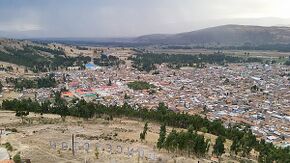
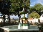
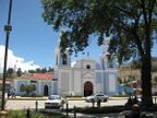
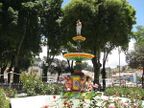
Concepción, Junín
From The Right Wiki
(Redirected from Concepción, Concepción Province)
Concepción | |
|---|---|
Town | |
Photo montage of Concepción | |
Concepción is located in Peru Concepción | |
| Coordinates: 11°55′06.52″S 75°18′46.40″W / 11.9184778°S 75.3128889°W | |
| Country | File:Flag of Peru.svg Peru |
| Region | Junín |
| Province | Concepción |
| District | Concepción |
| Founded | 8 December 1537 |
| Government | |
| • Mayor | Benjamín Próspero De la Cruz Palomino (2019-2022) |
| Elevation | 3,283 m (10,771 ft) |
| Population (2017) | |
• Total | 15,428 |
| Demonym | concepcionino/a |
| Time zone | UTC-5 (PET) |
| Website | www.municoncepcion.gob.pe |
Concepción is a town in central Peru, capital of the province Concepción in the region Junín.[1][2] During the War of the Pacific in July 1882, Concepción was the location of the Battle of La Concepción, in which a force of 77 Chilean soldiers was annihilated by 1,300 Peruvians.
References
- ↑ (in Spanish) Municipalidad Provincial de Concepción. Municipalidad Provincial de Concepción. Retrieved March 1, 2008
- ↑ * (in Spanish) Instituto Nacional de Estadística e Informática. Banco de Información Digital Archived April 23, 2008, at the Wayback Machine. Retrieved March 1, 2008.


