Madrid, Colorado
From The Right Wiki
Jump to navigationJump to search
Madrid, Colorado | |
|---|---|
| Coordinates: 37°07′39″N 104°38′29″W / 37.12750°N 104.64139°W | |
| Country | United States |
| State | Colorado |
| County | Las Animas[1][2][3][4] |
| Elevation | 6,286 ft (1,916 m) |
| Area code | 719 |
| GNIS feature ID | 194645[5] |
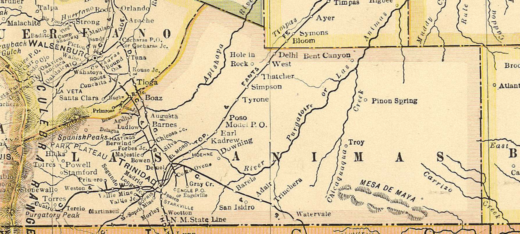
Madrid is a ghost town in Las Animas County, Colorado, United States. It is east of the Front Range of the Rocky Mountains at an elevation of 6,590 feet (2,010 m). The town is the west side of the county along State Highway 12, fourteen miles (23 km) west of Trinidad. Madrid is named for Hilario Madrid, who settled there in the 19th century from New Mexico, not after Spain's capital.[6] Originally called Madrid Plaza, it was established as a settler's post in 1864. Hilario and his brother Juan Madrid homesteaded there in September 1879.[7] There was a Post Office in the town from 1882 to 1917.[8]
See also
- Bibliography of Colorado
- Geography of Colorado
- History of Colorado
- Index of Colorado-related articles
- List of Colorado-related lists
- Outline of Colorado
References
- ↑
 [bare URL image file]
- ↑
 [bare URL image file]
- ↑
 [bare URL image file]
- ↑
 [dead link]
- ↑ "US Board on Geographic Names". United States Geological Survey. October 25, 2007. Retrieved January 31, 2008.
- ↑ Luis Baca, "Guadalupita Colony of Trinidad" The Colorado Magazine, XXI (January, 1944), 22-25.
- ↑ "Madrid Plaza" Hugh and Evelyn Burnett 227
- ↑ "COGenWeb: Colorado Places "M"".