Tuxpan River (Jalisco)
From The Right Wiki
Jump to navigationJump to search
| Tuxpan River | |
|---|---|
Location of mouth | |
| Location | |
| Country | Mexico |
| States | Jalisco, Colima, and Michoacán |
| Physical characteristics | |
| Mouth | |
• coordinates | 19°15′48″N 103°30′25″W / 19.263373°N 103.506889°W |
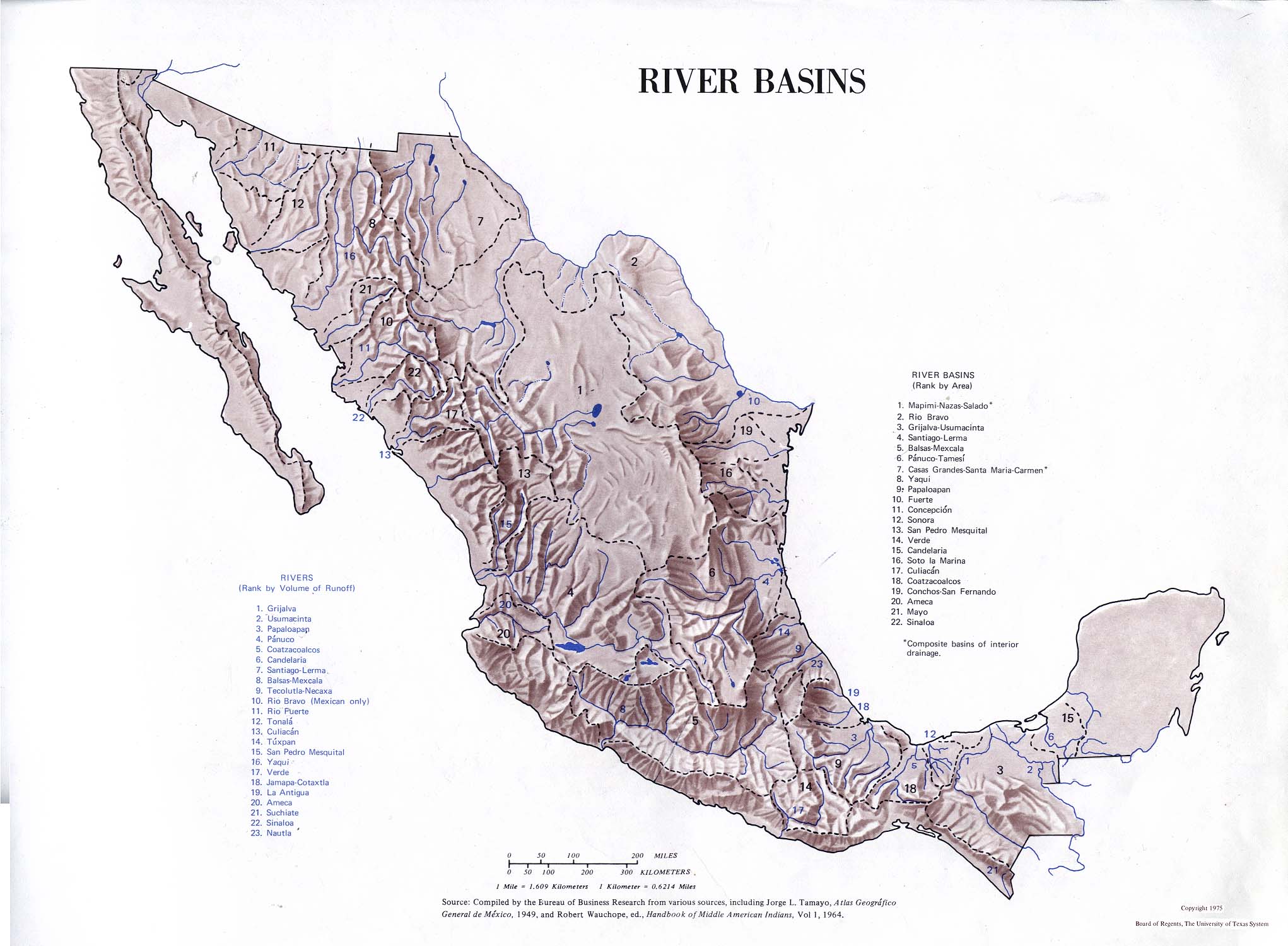
The Tuxpan River, also known as the Coahuayana River is a river of Mexico. It originates in the Trans-Mexican Volcanic Belt south of Lake Chapala. It flows southwards through Tuxpan Municipality, Jalisco, and then forms the eastern border of Colima with Michoacán before emptying into the Pacific Ocean.[1]
See also
References
- Atlas of Mexico, 1975 (
 ).
). - The Prentice Hall American World Atlas, 1984.
- Rand McNally, The New International Atlas, 1993.