Mameyes River
From The Right Wiki
Jump to navigationJump to search
| Mameyes River | |
|---|---|
| File:Rio Mameyes 21.jpg Mameyes River in Río Grande | |
| Native name | Río Mameyes (Spanish) |
| Location | |
| Commonwealth | Puerto Rico |
| Municipality | Luquillo |
| Physical characteristics | |
| Mouth | |
• coordinates | 18°23′07″N 65°45′00″W / 18.3852276°N 65.7498851°W[1] |
| Type | Wild, Scenic, Recreational |
| Designated | December 19, 2002 |
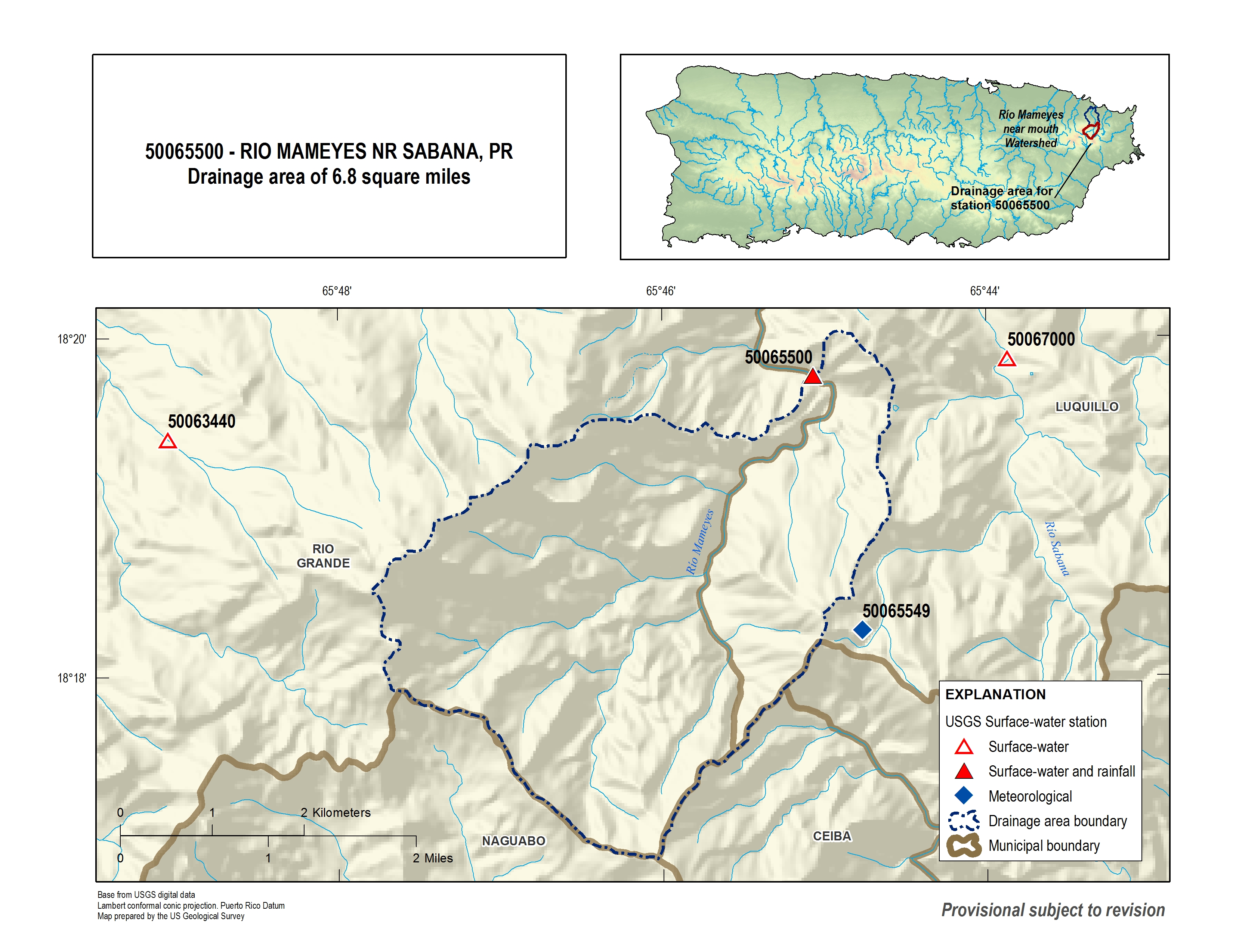
The Mameyes River (Spanish: Río Mameyes) is a river of Luquillo, Puerto Rico, and is also in Río Grande, Puerto Rico. It received the National Wild and Scenic River designation in 2002 and its riparian zone is 73 acres.[2][3]
See also
References
- ↑ U.S. Geological Survey Geographic Names Information System: Río Mameyes
- ↑ "Rio Mameyes". National Wild and Scenic River System.
- ↑
 [bare URL image file]
External links
Categories:
- Pages using gadget WikiMiniAtlas
- All articles with bare URLs for citations
- Articles with bare URLs for citations from March 2022
- Articles with image file bare URLs for citations
- Articles with short description
- Short description with empty Wikidata description
- Articles containing Spanish-language text
- Coordinates not on Wikidata
- Articles with Spanish-language sources (es)
- Rivers of Puerto Rico
- Wild and Scenic Rivers of the United States
- 2002 establishments in Puerto Rico
- Luquillo, Puerto Rico
- Protected areas established in 2002
- All stub articles
- Puerto Rico river stubs